


Great team, on the internet and in the whale house. i’ve recently purchased three out of 360s. You get what you pay for on the website. It comes in great condition ready to bind or register and fly. Kudos to the US of drones team.
Great crew in the office and the shipping department. I’ve purchased several products or drones from USA drones product show up on time or early.
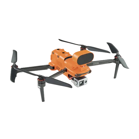
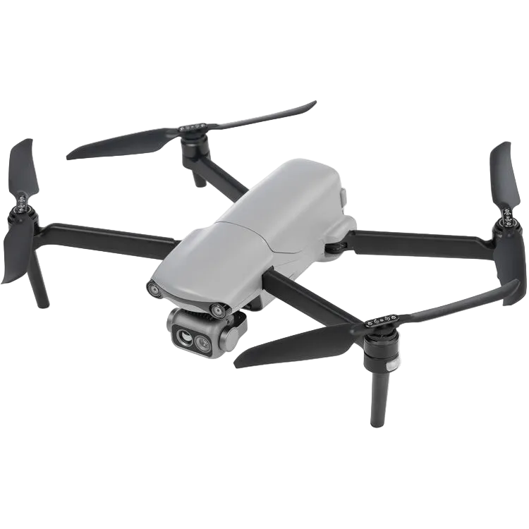
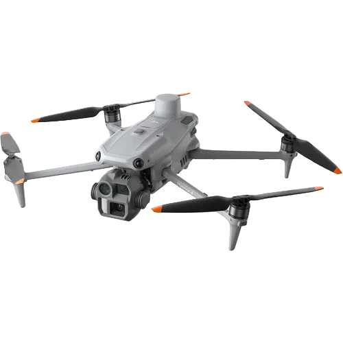
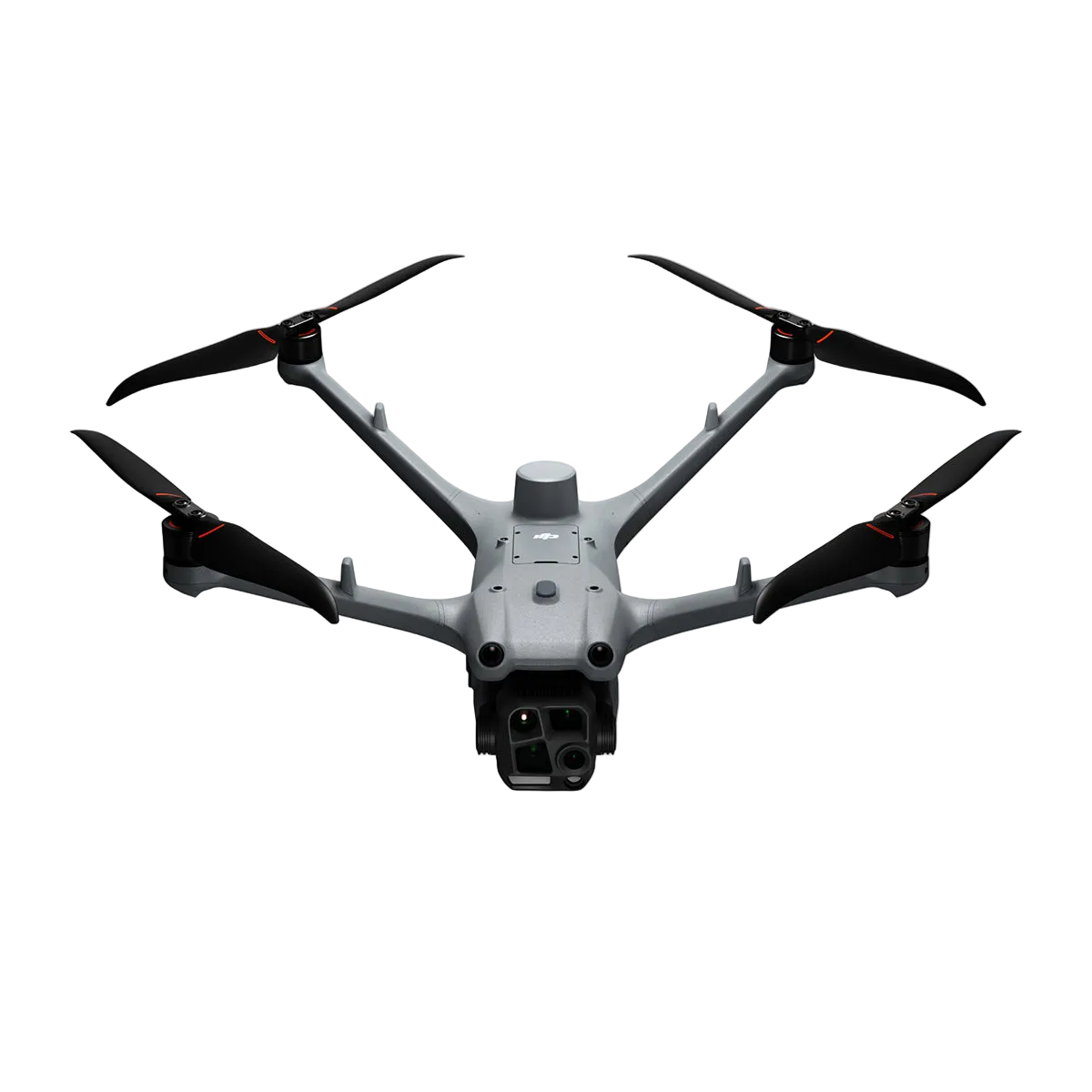
Do you have a cool toy that goes by the name of "Mavic 4 Pro" that our government doesn't want you to have because it's a "national security risk" even though the phone I am writing this review on gives China anything and everything they could ever want data wise against my will, and the Mavic 4 Pro doesn't have the ability to show anyone anything without you posting it?
Well this battery will help keep your threat to national security doing dangerous things like taking pictures of mountains, lakes, buildings, or whatever risky things you might be doing with it.
Stay rebellious, my friends.