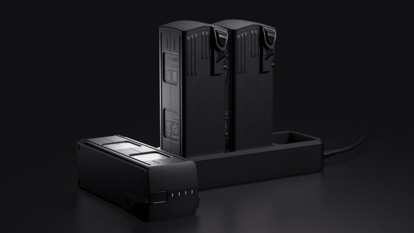
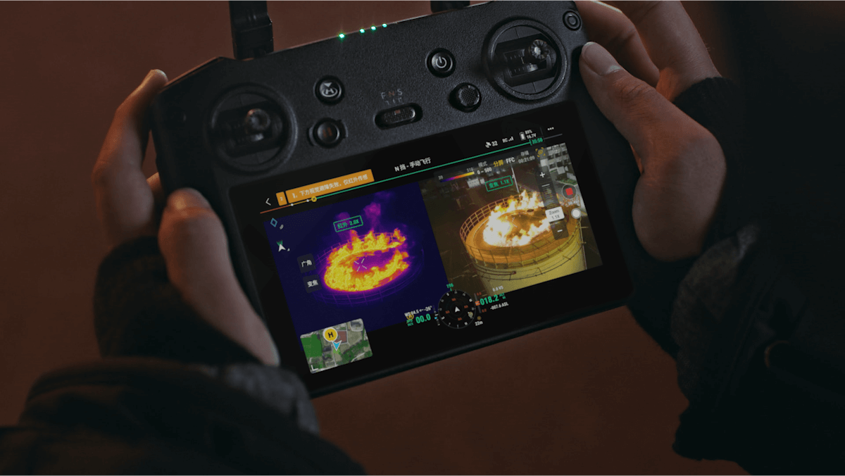
Thermal Payloads

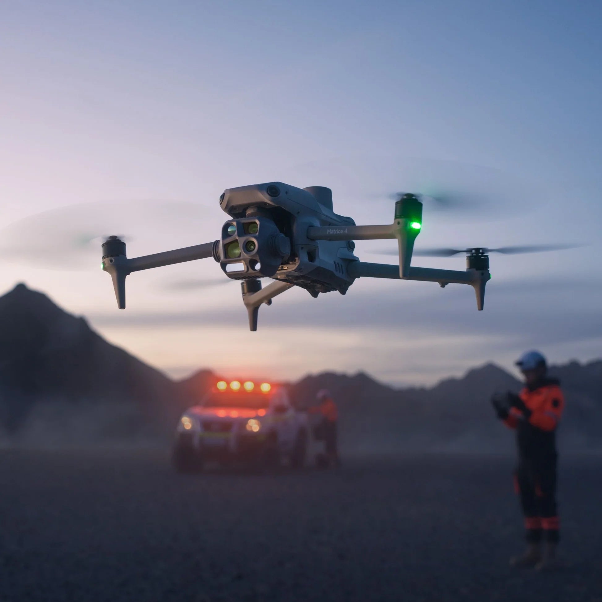
SEE HEAT. FLY AT NIGHT. MISS NOTHING.

Drones LikeMatrice 4TMatrice 4TD

Radiometric thermal imaging for inspection, search & rescue, and solar diagnostics.

CREATE EVERYWHERE

PREMIUM DRONES DELIVERED FAST FROM THE USA

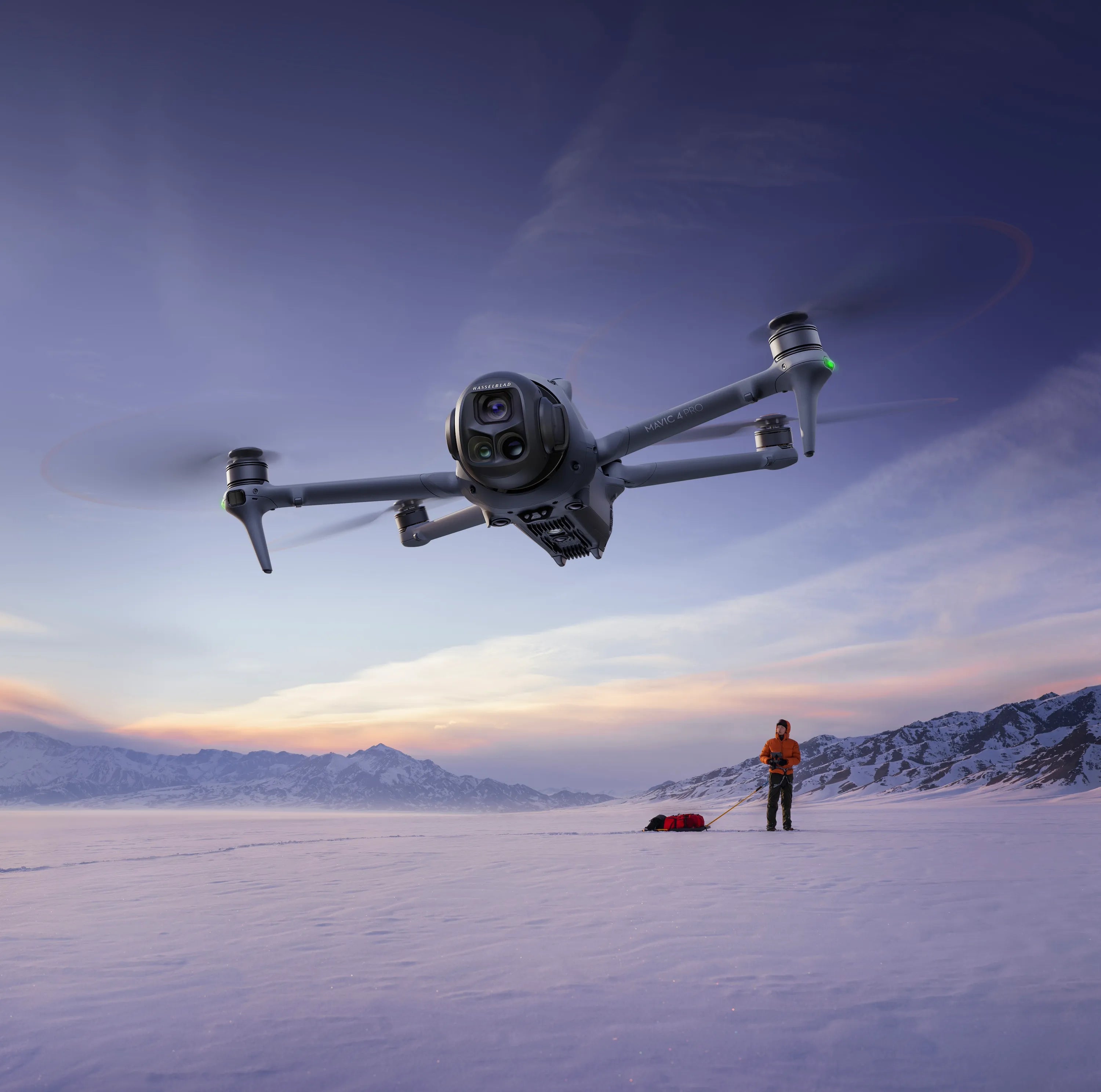
Drones LikeMavic 4 ProMini 5 ProAvata 360Avata 2Air 3SMatrice 4TMatrice 4TDMatrice 400Matrice 4E

Hard-to-find drones like the Matrice Series, available now and shipped fast from California. Every unit verified. Every buyer supported.

tomorrow's farm equipment

AGRICULTURE MADE EASY

Drones LikeAgras T100

Hard-to-find ag drones like the DJI Agras Series, available now and shipped fast from California. Every unit verified. Every buyer supported.

DESIGNED TO CARRY MORE

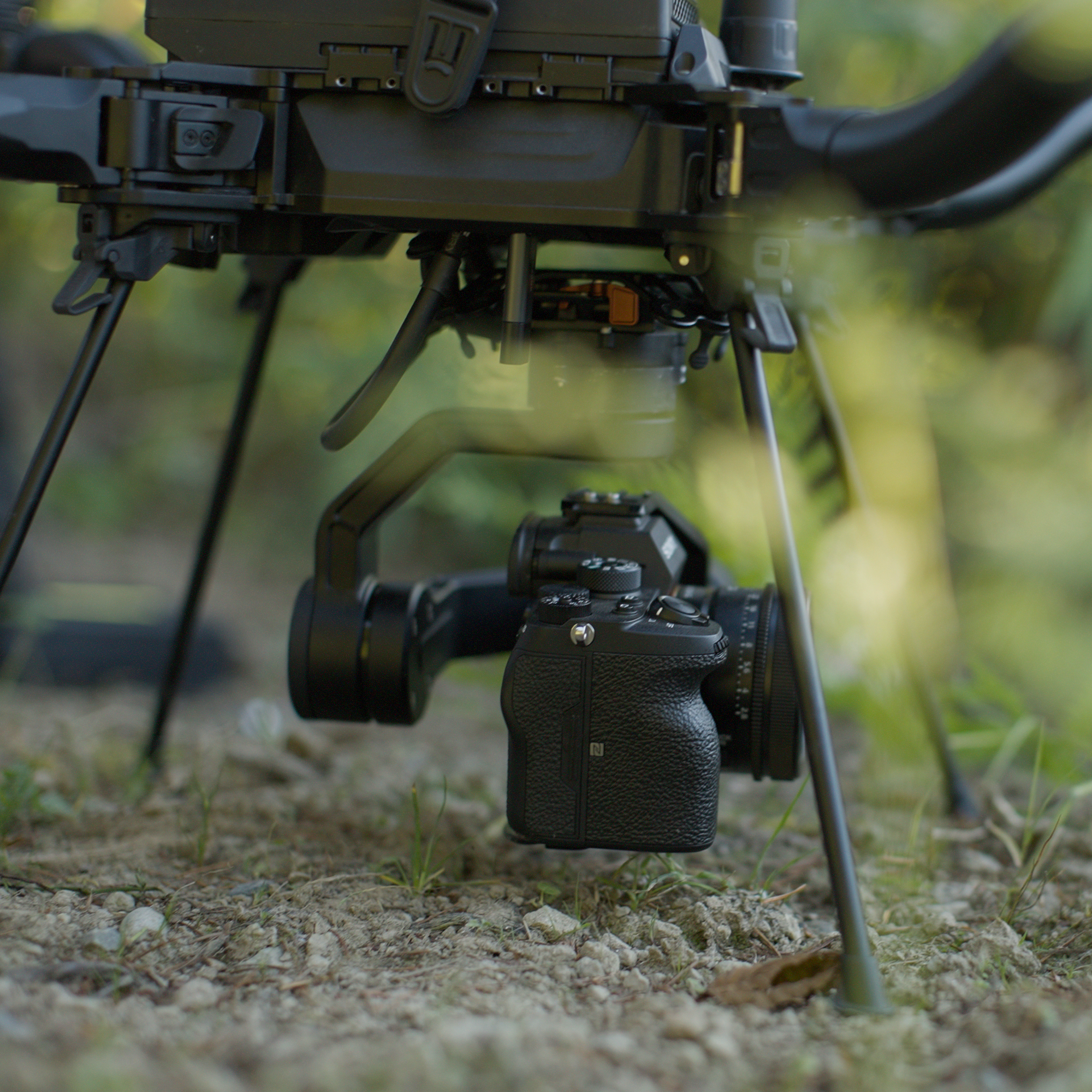
AUTHORIZED FREEFLY SYSTEMS DEALER SHOP AMERICAN MADE DRONES

Drones LikeAstro MaxAltaX

Industry-leading American-built aircraft engineered for cinema, defense, research, and industrial applications.

Enterprise Aerial Systems

AERIAL INTELLIGENCE, ENGINEERED FOR THE MISSION.

Built forInspectionMappingPublic SafetyPrecision Ag

Commercial-grade drones, payloads, and support — deployed in minutes, trusted on the toughest jobs.

Insta360 X6 lifestyle - outdoors

CAPTURE MORE THAN A PHOTO.

BUILT FOR THE PERFECT SHOT.

Hard-to-find cameras like the Insta360 X6, available now and shipped fast from California. Every unit verified. Every buyer supported.

SectorE5
Alt0m
HdgN 000
MISSION 1/5 FIND 0:00 / 2:30
Target
Coverage0%
Photos0
GSD--
Overlap--
Path±--
Route0%
RTKFIX
WSFly ADTurn / orbit QEAltitude ↑↓Tilt CView ZZoom SpaceLock FFinish
AIM AT A LANDMARK
FIELD NOTE
PROCESSING PHOTOS
US Drone Supply · Matrice 4E
Survey Run
Five missions. Each one: find the landmark in the city, lock onto it, then map it with photogrammetry. Fly the planned route, keep every point of the target in three or more photos, and get graded A to F.
5 missionsGraded A–FReal mapping practice
Decoys look almost identical, so read the clue carefully. A wrong lock costs points.
On mobile: GO/BACK and the arrows fly, drag up/down to tilt, tap VIEW for the camera.
Mission 1 of 5
HELIX TOWER
Target
Plan the flight
A
Mission Complete
0 / 100
Scan quality score
Pilot's Handbook
How drone mapping works
1
Photogrammetry in one line
Software finds the same feature in many overlapping photos and triangulates it into 3D. No overlap, no model, which is why every point must appear in at least 3 photos.
2
Overlap
Typical mapping uses about 75–80% front overlap (between photos along a line) and 60–70% side overlap (between lines). 3D and facade work usually wants more. Too little leaves holes; too much costs flight time and processing.
3
GSD (ground sample distance)
How much real ground one pixel covers, in cm per pixel. Fly closer for finer detail or higher to cover more area faster. With the Matrice 4E's wide camera it's roughly 2.7 cm/px at 100 m and about 1 cm/px at 40 m.
4
Nadir vs. oblique
Nadir means the camera points straight down (−90°): best for flat orthomosaics and elevation maps. Oblique means tilted about 30–45°: needed to see walls, facades and the sides of structures for 3D models. DJI's Smart Oblique mode captures those angles efficiently.
5
Mechanical shutter
A rolling electronic shutter reads the sensor line by line, which warps images when the drone moves. A mechanical shutter exposes the whole frame at once, so you can fly faster without distortion. The Matrice 4E has one.
6
RTK positioning
Normal GPS is accurate to a few meters. RTK adds a correction signal (from a base station or network) for centimeter-level positions, so models line up without lots of ground control. Tall buildings and bridges can block satellites and drop you from FIX to FLOAT.
7
Ground control and checkpoints
Surveyed markers on the ground tie a model to real-world coordinates. RTK reduces how many you need, but surveyors still place checkpoints to verify accuracy.
8
From photos to model
1) Align photos by matching tie points. 2) Solve camera positions and a sparse cloud. 3) Build a dense cloud from depth maps. 4) Create a mesh and texture, or an orthomosaic and elevation model.
9
Light, weather and wind
Overcast days give soft, even light. Hard sun and long shadows hide detail. Wind pushes the drone off its lines and drains the battery faster.
10
Rules and safety (US)
Under FAA Part 107: keep the drone within visual line of sight, stay under 400 ft (about 122 m) above ground unless waived, and check airspace authorization (LAANC) near airports. Always check battery, weather and the site before launch. Rules differ in other countries.
Report Card
A
0 average
Average across today's five missions
From
Shop Now
DJI Mini 5 Pro Drone
DJI Mavic 4 Pro Drone
DJI Matrice 4T Thermal Drone
DJI Matrice 4T Thermal Dro
DJI Neo 2
DJI Neo 2
DJI Avata 360
DJI Avata 360
DJI Matrice 4E
DJI Matrice 4E
DJI Mavic 4 Pro (Drone Body Only)
DJI Mavic 4 Pro (Drone Bod
DJI Mini 5 Pro (Drone Body Only)
DJI Mini 5 Pro (Drone Body
DJI Air 3s
DJI Air 3s
DJI Matrice 4TD
DJI Matrice 4TD
DJI Avata 2 FPV Drone
Antigravity A1
Antigravity A1
DJI Matrice 30T
DJI Matrice 30T
Potensic Atom 2
Potensic Atom 2
DJI Matrice 400 Fly More Kit
DJI Matrice 400 Fly More K
DJI Inspire 3
DJI Inspire 3
DJI Mavic 3M Multispectral Drone
DJI Mavic 3M Multispectral
DJI Mini 5 Pro Drone Fly More Combo RC2 (Open Box)
DJI Mini 5 Pro Drone Fly M
DJI Matrice 4D
DJI Matrice 4D
DJI Mavic 4 Pro 512GB Drone Body (Refurbished)
DJI Mavic 4 Pro 512GB Dron
Antigravity A1 Infinity Bundle (Open Box)
Antigravity A1 Infinity Bu
DJI Matrice 4TD 3 Battery Combo w/ Speaker and Spotlight (Refurbished)
DJI Matrice 4TD 3 Battery
Autel Robotics EVO Lite 640T
Autel Robotics EVO Lite 64
Autel Robotics EVO II Dual 640T
Autel Robotics EVO II Dual
DJI Agras T100 Ready to Fly Kit
DJI Agras T100 Ready to Fl
DJI T100 Intelligent Airframe
DJI T100 Intelligent Airfr
Freefly Alta X Gen2
Freefly Alta X Gen2
Freefly Astro Max Mapping Essentials
Freefly Astro Max Mapping
Freefly Astro Max (NDAA/Blue)
Freefly Astro Max (NDAA/Bl
Freefly Astro Max
Freefly Astro Max
HoverAir X1 PROMAX
HoverAir X1 PROMAX
Freefly Astro Max Mapping Essentials (NDAA/Blue)
Freefly Astro Max Mapping
Freefly Alta X Gen2 (NDAA)
DJI Matrice 4T Thermal Drone Wilderness Bundle
DJI Matrice 4T Thermal Dro

100% AUTHENTIC DRONES

FAST, SECURE DELIVERY

EXPERT CUSTOMER SUPPORT

Important Update: DJI & FCC Covered List

If you’re wondering whether you can still buy and fly DJI drones in the U.S., here’s the short answer: DJI models that were previously FCC authorized remain legal to purchase, own, and operate.

The market is changing, and availability may shift over time. We’ve put together a clear breakdown of what this means for buyers and pilots, what’s staying the same, and what to expect next.

Read Full Update

600+

Five Star Reviews

About us

Proudly Based in San Diego

“No problem dear, just waiting.”

That’s what an overseas seller told us after a drone we ordered never arrived. Weeks in customs. Then nothing. No refund. No support. No drone.

Work stalled. Shoots slipped. Time was lost — and you don’t get that back.

So we built US Drone Supply.

We’re drone pilots and creators, but also supply-chain veterans who know how to move product the right way. We built the store we always wanted: drones that are actually in stock, and shipped fast from the U.S., with real human support.

As the drone market changes, our commitment stays the same. We focus on compliant, U.S.-sourced inventory and are actively expanding partnerships to ensure our customers always have access to the best drones they can legally fly.

Whether you’re just getting started or flying professionally, we’re here to get you airborne today — not stuck waiting weeks, months, or forever.

USDS BLOGS

Everything you need to stay in the loop

Guides from the team behind the counter: FAA rules, gear, and what it takes to fly for pay.