


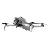


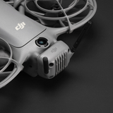
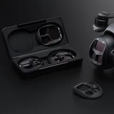

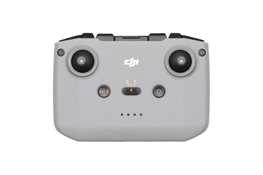

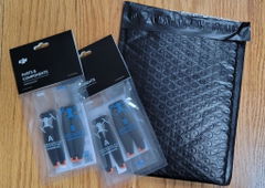
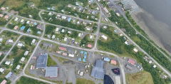
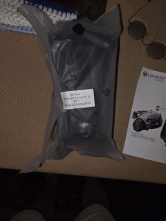
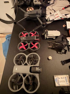
After comparing various other DJI supplier's I was convinced that going with US Drone was the right step. The price was one factor that was favorable of course. Shipping and customer service was excellent. Quick shipping was right on.
Everything was spot on in the case. Registration and getting it airborne was completed in one afternoon.
Everything performs flawlessly LOVE IT!


Flux L1
What's in the Box
Configure your drone
Flux L1
$13,995.00
Flux L1
What's in the Box
Availability
Out of Stock · Reserve Yours
Estimated Ship Window
15–20 business days
The Freefly Flux L1 makes professional drone LiDAR more accessible, using the Livox Avia scanner in a 715 g payload. It reaches 450 m with a 70° × 77° field of view and ±5 cm accuracy, and its non-repetitive scan pattern suits power lines, forestry and hard-to-map assets. Processing runs in the free Freefly Flow app.
Built for: Utility, forestry and inspection teams starting with LiDAR
Key features of the Freefly Flux L1
- ±5 cm accuracy 2 cm precision.
- 450 m range 70° × 77° field of view.
- 715 g Light for long flights.
- Non-repetitive scanning Complete coverage of complex structures.
- No subscription Free Freefly Flow processing, LAS/LAZ export.
Works with
Frequently asked questions
Do I need a base station?
Yes. Flux PPK processing needs a full-band GNSS base station (L1, L2, L5 and L6) or equivalent NTRIP.
What do I need to process data?
A modern iPad with the free Freefly Flow app.
Why non-repetitive scanning?
It fills in coverage over time, capturing complex structures like towers and tree canopies more completely.
Flux L1
$13,995.00